Site Steward:
Location
VT
44° 4' 38.1072" N, 72° 2' 0.3912" W
See map: Google Maps
Vermont
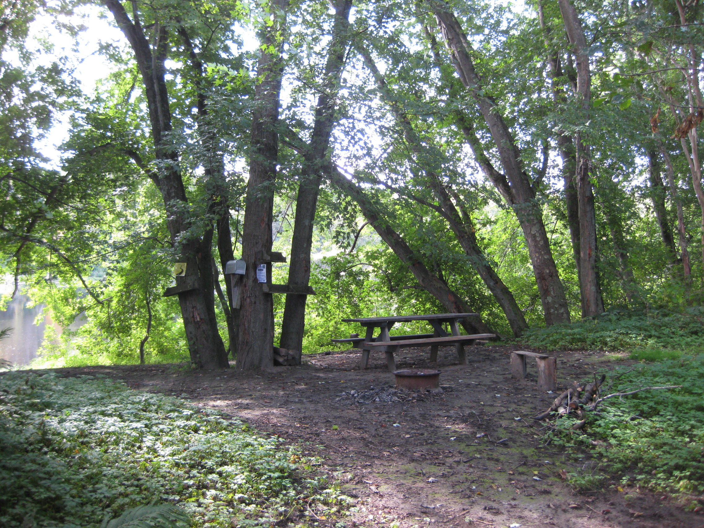
Access on Vermont side at second large oxbow downstream of Howard Island, across from high eroding sand bank that meets small brook with fallen trees.Suggested donation of $10 per tent per night
River Mile (Sea To Source):
259.00

Campsite Status:
Open
Register:
Site Adopter Check:
All set

Comments
bonna.wieler
Sun, 04/08/2018 - 14:50
Permalink
Bold Paths kayak trip
3day trip
Prijon
Fri, 09/21/2018 - 20:10
Permalink
October 7th
Papa Joe Team is staying October 6th and will not stay overnight on October 7th. That was a mistake made.